
Friendswood ZIP Code Coverage
The captured USPS sources support only two Friendswood ZIP codes: 77546 and 77549. That is a deliberately narrow list. The Friendswood line in the USPS FAST labeling data groups both codes together, while the postal-location record gives practical counter details for 77546. USPS delivery geography is not the same thing as the incorporated city line, a parcel boundary, or a county assignment. Keep those questions separate when using this Friendswood ZIP code directory.
| ZIP code | Documented local coverage | Post office | Research note |
|---|---|---|---|
| 77546 | Principal Friendswood mailing area | Friendswood Post Office, 310 Morningside Dr. | Phone (281) 992-2832; retail hours Mon-Fri 8-5:30 and Sat 9-1. |
| 77549 | Friendswood-associated USPS labeling entry | Exact station or route not located | Specific streets and PO-box status remain unconfirmed in the captured official sources. |
The labeling list does not map neighborhoods to 77549. It also does not establish whether a particular address is a delivery or PO-box use. Nearby 77598 belongs to Webster in the research record and is not a Friendswood ZIP code without an address-specific USPS result.
A USPS location record for the Friendswood Post Office provides the documented counter details for 77546.
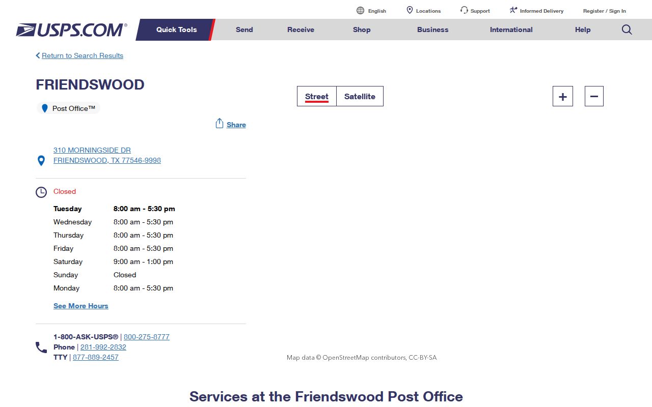
Those details make 77546 the clearest public-service anchor, while they do not expand the evidence for 77549.
Friendswood USPS ZIP Labels
The official USPS FAST file is the source that links 77546 and 77549 in one Friendswood labeling line. It is useful for identifying the documented ZIP set, but it is not an address-level map. A label may cover a postal naming convention that crosses municipal lines. It cannot establish county custody, parcel ownership, or the people who receive mail at an address.
Use the ZIP code directory as a normalization step. Write down the five-digit code returned for the street address, then compare it with the property situs, or physical location, and the legal description shown by the appraisal district. The legal description is the land identifier used in a deed. It is often more dependable than a city label when a search reaches the county split.
The USPS FAST labeling list is the captured source for the two-code Friendswood line.
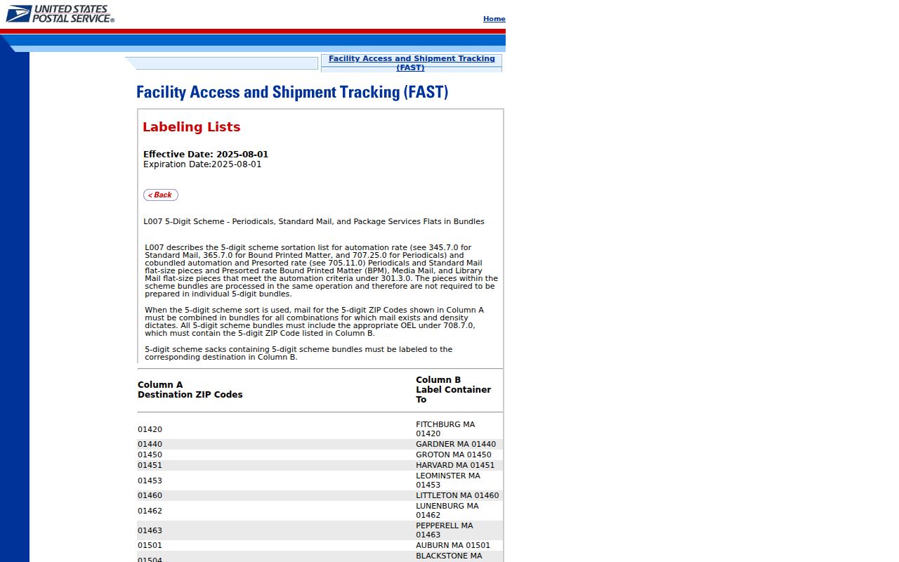
The list supports the code names, not a claim that every address using either code sits inside the city.
Verify a Friendswood ZIP Code
Use the USPS ZIP Lookup before running a property or deed search. Its address mode accepts a street address and state, with optional company, unit, city, and ZIP fields. The city-and-state mode returns ZIP codes recognized for a place. Its Cities by ZIP mode accepts a five-digit code and returns recognized city names. USPS warns that the lookup does not confirm a person or company.
| USPS lookup mode | Required field | Useful result |
|---|---|---|
| By Address | Street address and state | Normalize a delivery address; city, unit, and ZIP can narrow it. |
| By City and State | City and state | Return ZIP codes USPS recognizes for that mailing place. |
| Cities by ZIP | Five-digit ZIP | Return recognized city names for the entered code. |
Save the postal result with the date searched. Then compare it with an appraisal record. A mailing address can be outside a parcel, and a recognized mailing place can be outside incorporated Friendswood. That small record log prevents a ZIP match from becoming an unsupported residency claim.
Friendswood ZIP Research by Address
After USPS confirms the delivery format, the Galveston Central Appraisal District search can establish the Friendswood parcel baseline on the Galveston County side. Its captured fields include owner name, street number, street name, property ID, geographic ID, owner ID, subdivision, abstract, neighborhood, property type, and tax year. The captured form does not show a confirmed ZIP filter, so do not promise a ZIP-wide GCAD search.
Search the street number and street name first. If the address search fails, GCAD advises simplifying to the street name without a prefix, suffix, or unit. Record the property ID, geographic ID, subdivision, legal description, and situs address. Those fields narrow the next search even when a ZIP spans several local areas.
The GCAD taxpayer portal shows the district's property-services entry point.
Property records answer a parcel question, not a complete ZIP-wide resident question, and the Harris County side requires its own county records route.
- Confirm the street address and ZIP code in USPS Lookup.
- Search the address in GCAD when the parcel is on the Galveston County side, and capture its situs and legal description.
- Use the legal description and county to search the appropriate county clerk record index.
- For a named street after the ZIP is narrowed, use the address workflow in the Friendswood street directory.
Friendswood ZIP Code Record Fields
A Friendswood ZIP code becomes more useful when it is kept beside the fields that describe the actual land. GCAD's current property search can expose the owner name, street number and name, property ID, geographic ID, owner ID, subdivision, abstract, neighborhood, tax year, situs, and legal description. The sample GCAD card shows why that distinction matters: it separates the property location from owner and account identifiers, while the district's correction form separately asks for the owner mailing address and the property location.
| Field to retain | Why it matters in Friendswood |
|---|---|
| USPS ZIP result | Normalizes the delivery geography for the exact address. |
| Situs address | Identifies the property location used by the appraisal record. |
| Legal description | Connects the parcel to deed, subdivision, lot, block, or abstract language. |
| Property and geographic IDs | Provide stable GCAD references when a street search returns multiple parcels. |
| County | Determines whether Galveston or Harris County is the records custodian. |
That record set prevents a mailing ZIP from doing work it cannot do. It also makes a later deed or plat search easier to repeat, because the county clerk index can be narrowed with the land description instead of a broad postal label.
Friendswood ZIPs at Clear Creek
Clear Creek divides the northern Galveston County and southern Harris County portions of Friendswood. That geography is the reason a correct postal label still needs a county check. A ZIP code answers a delivery question. The county holding the parcel controls the recorded-title path, and the city boundary controls municipal jurisdiction. One street can therefore need more than one official check.
The City of Friendswood history page describes the city geography and its Clear Creek split.
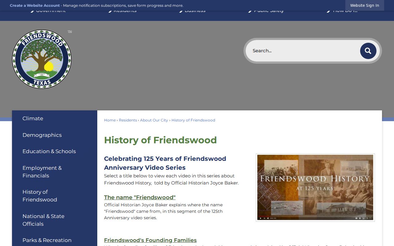
For Galveston-side title research, use the county clerk and AVA official-records search; for Harris-side property, switch to the Harris County record custodians.
Friendswood ZIP Code Search Limits
A ZIP search does not produce a complete list of Friendswood residents. USPS says its lookup does not confirm a person or company. GCAD's captured advanced-search form exposes address, owner, identifier, subdivision, and property filters, but no confirmed ZIP field. The public Texas voter lookup is a status route for an individual, not a ZIP-wide resident browser. Public utility customer lists were not located, and the city HOA list provides organization contacts rather than household membership.
When a question is about a particular property, use the postal result only to standardize the address. Continue with the relevant parcel, deed, or city record. When the question is about a historical household, an address cross-reference or a dated directory may be a better lead, but the regional collections do not guarantee a Friendswood entry. State the source and its date instead of filling a gap with an inference.
Texas voter-file requests follow a statutory form and affidavit route. Protected voter addresses are suppressed, and the request process is not a shortcut to an address-by-address directory. Use the county registrar or Secretary of State route only for the limited purpose the record allows.
Friendswood ZIP Code Counter Access
Online lookup is not the only access channel. For a delivery or local postal-service question tied to 77546, the Friendswood Post Office is at 310 Morningside Dr., Friendswood, TX 77546-9998. The captured postal record lists (281) 992-2832, with retail hours Monday through Friday from 8 to 5:30 and Saturday from 9 to 1. It lists Sunday as closed. Confirm current counter service directly before a visit because posted hours can change.
For land identity, the county appraisal portal and the county clerk are different access channels. GCAD is the Galveston-side appraisal starting point. The Galveston County Clerk's records hub routes official-records searches, and archival materials are available through TSLAC and local-history collections when an older record is absent online. On the Harris side, use the Harris County custodians. The ZIP stays a delivery reference throughout that process.
Note: The documented Friendswood counter details apply to 77546 and do not resolve the unconfirmed station, route, or PO-box status for 77549.
Friendswood ZIP Code Boundaries
Postal geography is purposely limited. USPS describes a delivery area, not a resident roster. GCAD records a parcel and its appraisal data. A county clerk records instruments such as deeds. The Texas voter lookup is an individual status route, not a public ZIP-wide browser. The City GIS PDF provides city and county geography, but it does not publish ZIP boundaries. Each source must be read for the question it actually answers.
- ZIP code
- A five-digit USPS delivery area. It does not establish city jurisdiction or county custody.
- ZIP+4
- An added delivery segment used after the five-digit ZIP. It is not a boundary for a neighborhood or a parcel.
- PO-box ZIP
- A postal code used for post-office-box service. The captured Friendswood sources do not confirm whether 77549 has that status.
- Carrier route
- A USPS delivery sequence. It is not a public list of people at the addresses on the route.
Note: Preserve the address, postal result, county, and legal description as separate fields when keeping Friendswood ZIP research notes.