
Friendswood Previous Resident Sources
Previous residents are best traced as a dated chain, not as a single search result. Current appraisal data holds the address and parcel identifiers. Deeds follow recorded interests. Regional directories can place listed households at an address, and census schedules add household detail after the federal release period. Friendswood is split by Clear Creek, so confirm whether the parcel is in Galveston or Harris County before selecting a clerk. The table distinguishes documented coverage from a guarantee that every Friendswood address appears.
| Source | Years it covers | Where held | What it can show |
|---|---|---|---|
| Galveston County Deed Record | 1838-1886 in TSLAC catalog; online cutoff not published | County Clerk, AVA, TSLAC microfilm or interlibrary loan | Grantors, grantees, legal descriptions, and recorded transfers. |
| Galveston tax rolls | 1838-1921 | Galveston & Texas History Center microfilm | County historic assessment context, not a complete occupant record. |
| GTHC directories | 1856-2024 overall | GTHC, Portal to Texas History, licensed databases | Regional address and household clues; Friendswood coverage is not guaranteed. |
| Federal census | 1790-1950; 1950 is open | NARA, FamilySearch, and library databases | Household composition in county or precinct geography. |
| Friendswood permits | Current CityWorks; 2025 sample archive | City Community Development | Property work dates and descriptions, not proof of occupancy. |
Start with the source closest to the year in question. A recent ownership question may begin with GCAD and AVA. A rural-era question may reach the clerk books, state archive microfilm, local history collections, and the census much sooner.
Friendswood Previous Residents Baseline
Freeze the modern address before moving backward. On the Galveston County side, the GCAD property search can return the current owner, situs address, property ID, geographic ID, subdivision, and legal description. Situs means the property location. It is not necessarily the owner's mailing address. The legal description may state a subdivision, lot, block, abstract, or tract detail that remains useful when an old deed does not use today's street wording.
Write the identifiers exactly as displayed. GCAD accepts owner name, street number, street name, property ID, geographic ID, owner ID, subdivision, and other advanced fields. Search only the street name if a full address does not return a result. For a Harris-side parcel, use Harris County appraisal and clerk routes instead of assuming GCAD holds the record.
- Situs address
- The physical property address shown by the appraisal record.
- Legal description
- The land description used in recorded documents, often subdivision, lot, block, abstract, or tract language.
- Property ID
- An appraisal account identifier. It helps locate the current parcel record but is not a deed number.
- Mailing address
- A correspondence address that may differ from the place where the parcel sits.
Note: A homestead exemption or mailing address is not proof that every named person lived at the Friendswood property.
Friendswood Deed Chain Backward
On the Galveston side, search the Galveston County AVA official-records index after recording the parcel baseline. AVA exposes name, document number, document type, date range, book and page, reference number, house number, street, city, ZIP, subdivision, lot, block, parcel, and municipality fields. Its result template identifies the document number, document type, recorded date, parties, and legal summary. Image access may vary, and the county has not published an official online cutoff.
- Find the current owner or grantee in AVA and narrow the result with the legal description, subdivision, lot, block, or date.
- Record the grantor, grantee, document number, recorded date, and legal description from the matching conveyance.
- Search that seller as a grantee to locate the prior purchase, checking that the same land description follows the chain.
- Repeat backward until the online trail ends, then use the clerk counter, deed books, or archival microfilm for earlier work.
- For a Harris-side property, change to the Harris County Clerk real-property route, where research notes show images from November 1, 1960 and historical books back to 1836.
A grantor is the party transferring an interest. A grantee is the party receiving it. The chain of title is the sequence of recorded transfers for the same land. Names can collide, so a title chain should follow the legal description, not a surname alone.
The Galveston County TXGenWeb resource is a genealogy finding-aid route that should be checked against original county or state records.
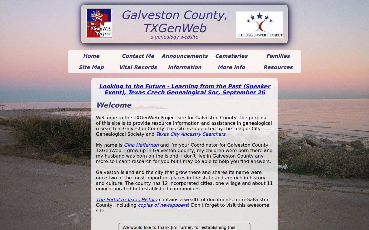
Volunteer indexes can suggest names and record types, but the dated deed or archival source remains the evidence for a transfer.
Friendswood Previous Residents Beyond AVA
Do not infer that AVA reaches every historical year. The captured county page does not state an online beginning date. The Texas State Library and Archives Commission catalog lists Galveston deed books beginning in 1838, including Deed Record material for 1838-1886, but that catalog start is not proof of online availability. The archive also lists county-court minutes, probate, census reels, and other county records that can extend a search beyond an index screen.
Use the exact catalog record to ask about Austin access, interlibrary loan, or a digitized route where listed. A clerk counter request may be the practical fallback for a particular book or certified copy. Retain the book, page, reel, or instrument citation with the address notes. That keeps a finding reproducible when an online index changes.
The TSLAC Galveston County records catalog identifies the documented historical routes.
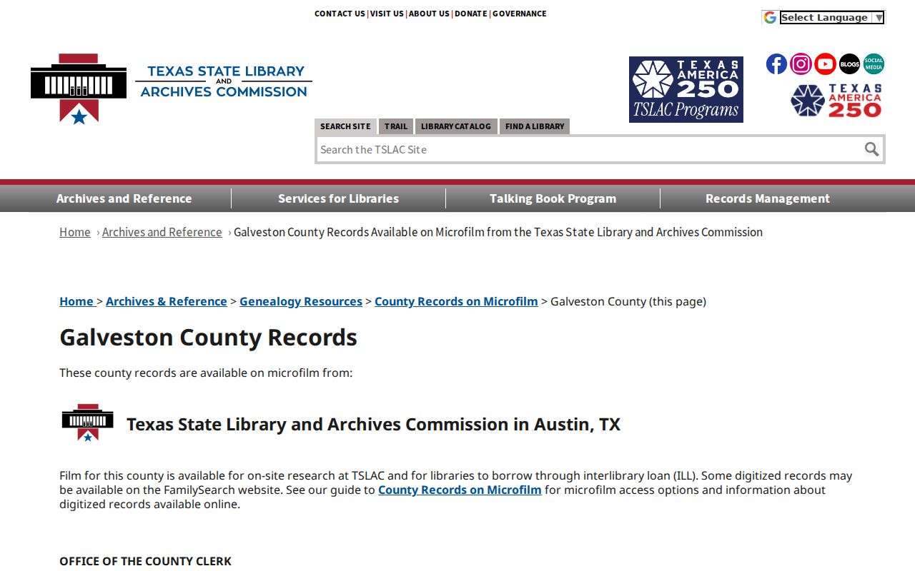
The catalog is especially useful when the deed index stops or when county books need to be checked by record series.
Friendswood Directory and Map Leads
The Galveston & Texas History Center house and property guide is the strongest published regional starting point for the household layer. It directs researchers to city directories, address cross-references, tax abstracts and rolls, deeds, Sanborn maps, and digitized collections. Address cross-reference listings begin in 1908; the guide notes shelf examples for 1899-1900 and 1919 forward. Those are regional Galveston resources, so a successful address hit should not be promised for every Friendswood year.
GTHC's directory page reports Galveston city directories from 1856 through 2024, with 1859-1925 on the Portal to Texas History, later digitized microfilm through library-licensed sources, and bound volumes from 1938 forward. A likely entry can contain a name, address, spouse or widow notation, and other publisher-specific abbreviations. Confirm the exact scanned volume and its front matter before interpreting an abbreviation.
The GTHC house-property guide shows the records paths that can join an address to its earlier setting.
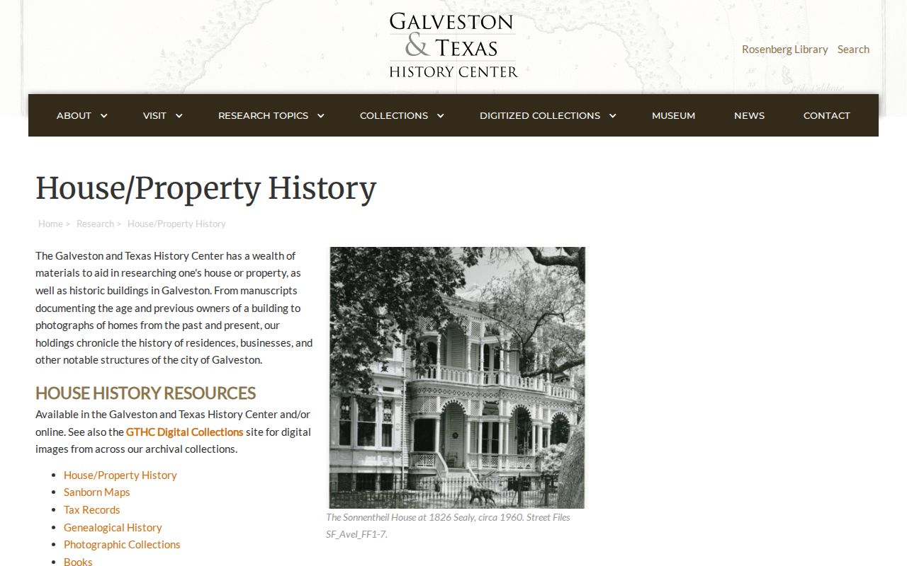
The guide supports a method, not a claim that a regional directory or map contains a particular Friendswood household.
The GTHC digital collections add photographs and documents that may help date a subdivision or local context.
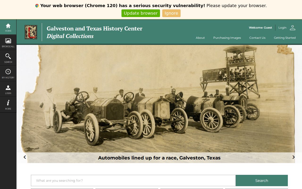
These local-history materials can supply a date anchor, but they are not a complete list of previous residents.
Friendswood Previous Residents Through Permits
City permit records can date work at a Friendswood address, which helps place a house-history question between deed transfers and directory observations. The research captured a 2025 permit archive sample and a current CityWorks route. A permit record can expose an issue date, site address, contractor, fee, valuation, and project description. It may identify work such as a pool, demolition, or alteration. It does not identify everyone who lived at the property, and a contractor is not evidence of residence.
Use a permit as a time marker. Compare the site address with the GCAD situs and the legal description. Then check whether a deed, directory, census entry, or obituary supplies a separate household clue for that period. No full historical Friendswood permit run was located in the captured sources, so an absent permit result should remain an access gap rather than proof that no work occurred.
City code and permit systems are municipal records, while county title follows the parcel's county. If Clear Creek places the property on the Harris side, county deed research moves there even if a Friendswood municipal record concerns the same street address. Preserve both the municipal date and the county record citation.
Friendswood Maps and Address Continuity
There is no documented Friendswood street-renumbering or renaming date in the captured research. Do not invent one when a modern street address disappears from an old search. Test alternate street spelling, county and city labels, subdivision name, lot and block, nearby roads, and the legal description. The city developed from a Quaker settlement through post-1950 growth and incorporation in 1960, so older records can use a rural or county context rather than a modern city label.
Friendswood's record context also changed with the community. The 1900 storm destroyed the early Quaker church and school, and families built The Academy afterward. Population grew from 5,675 in 1970 to 41,213 in 2020. Those facts can help explain why older material is rural, church, or county based and later material is suburban or municipal. They do not prove a particular family occupied a particular parcel.
State archives map records offer dated leads for Friendswood maps from 1983, 1984, 1989, 1994, and 1996, plus a 1961 Galveston County highway map. Those records can help compare roads and subdivisions across time. Sanborn years in the regional guide are primarily Galveston examples. Verify that a Friendswood sheet exists before relying on it for a parcel.
Friendswood Previous Residents and Census
Directories and the federal census answer different parts of the question. A directory records a listed household at a stated address or locality. A census records household composition within county or precinct geography. The federal census is public after the 72-year release rule, and 1950 is currently open. Pair a directory observation with the nearest census year and the deed chain, then keep the source date beside each name.
- Begin with a known address and year, then look for an address cross-reference or directory entry where available.
- Record the title, year, publisher, page, address spelling, and every abbreviation before moving to another volume.
- Compare nearby directory years with the census schedules for 1900, 1910, 1920, 1930, 1940, or 1950 where the timing fits.
- Use the deed chain to distinguish a listed occupant from a recorded owner.
- When the household trail ends, check obituary, probate, cemetery, or newspaper resources through GTHC, the library, or the clerk as appropriate.
The regional directory holdings are described in more depth on the Friendswood city directory page. They should be treated as a household clue, not a substitute for the underlying county record.
Note: An unlocated year is a research gap, not proof that no one lived at a Friendswood address.