
Friendswood Neighbor Record Sources
Friendswood neighbors are researched through records that each answer a different narrow question. GCAD can establish a parcel's owner of record, situs address, property ID, geographic ID, and legal description on the Galveston County side. A county deed index can connect a parcel to recorded transfers. The city map supplies geographic context. Voter records and association contacts have specific legal or organizational limits. Neither source becomes a complete block roster when read alone.
| Source | What it shows about a block | Access and limit |
|---|---|---|
| GCAD property search | Parcel owner, situs, property and geographic IDs, legal description, and appraisal data. | Free current research route for Galveston-side parcels; it does not list every occupant. |
| City GIS PDF and zoning map | City limits, county line, streets, subdivisions, tracts, and creeks. | Geographic context only; the captured research did not locate a live GCAD parcel-viewer URL. |
| Galveston AVA official records | Recorded parties, dates, document numbers, and legal summaries. | Index route; image access varies and the online cutoff is not published. |
| Texas voter-data request route | Lawful public voter fields subject to statutory protections. | Request and affidavit process, not a public block directory; protected addresses are suppressed. |
| City HOA contact list | Organization and meeting-contact information for named communities. | 2025 contact list, not a member or household roster. |
An owner record can identify an interest in land. It does not show everyone at the address. A civic contact can identify an association path. It does not prove that any named person belongs to that association.
Friendswood Parcels Around a Block
Start with the target parcel rather than drawing a radius from a street name. On the Galveston County side, search the GCAD property portal by street number and street name. If a full address fails, simplify the street name by removing a prefix, suffix, or unit. Record the target's property ID, geographic ID, situs, subdivision, lot or block, and legal description. These are the anchors for comparing the adjoining parcels.
The GCAD site advertises an Interactive Map, but the captured research did not expose its live viewer URL or verify any radius, buffer, or automatic-adjacent feature. The supported method is manual: use the official city GIS PDF or zoning map for context, identify the parcels touching the target, and then check each parcel one at a time in GCAD. Do not claim a live viewer returned a neighbor list.
- Locate the target address in GCAD and save the property ID, geographic ID, situs, and legal description.
- Use the official Friendswood GIS map to check streets, subdivisions, the city line, and the county line.
- Identify the immediately adjoining polygons manually, then look up those parcels separately in GCAD when they are on the Galveston side.
- Compare lot, block, subdivision, or other legal-description terms before treating the parcels as adjacent.
- Search AVA for a parcel's deed chain only after the parcel and county are established.
For a complete address-by-address route along a named road, the Friendswood street directory follows a wider street workflow.
Friendswood Neighbor Map Context
The city GIS PDF depicts streets, subdivisions, schools, creeks, city limits, and the county line. It is a useful map for deciding which official custodian should be consulted first. It is approximate and not a survey, so it should not replace a legal survey, recorded plat, or clerk document. City zoning has an interactive map and a verification form, but zoning is land-use context rather than a resident record.
Clear Creek makes this geography unusually important. It separates the northern Galveston County and southern Harris County portions of Friendswood. A target parcel on the Harris side does not gain a Galveston County deed chain just because it has a Friendswood mailing label. Keep the ZIP, city jurisdiction, county custodian, and parcel identity in separate notes.
Friendswood Neighbor Deed Checks
After the block parcel list is stable, use the Galveston County AVA official-records search for Galveston-side parcels. The portal supports name, document number, document type, date, book and page, house number, street, city, ZIP, subdivision, lot, block, parcel, and municipality searches. Its result template shows document number, document type, recorded date, parties, and legal information. That record trail can confirm a recorded transfer, not current household membership.
Search the owner or grantee, then narrow by the legal description. A matching conveyance should carry the same lot, block, subdivision, parcel, or other land description as the appraisal record. The seller can be searched as a prior grantee to extend the ownership trail. If the legal description points across Clear Creek, use the relevant Harris County clerk route instead.
| Official record trail | Generic online neighbor directory |
|---|---|
| Names the custodian, record date, parcel terms, and a specific land interest. | May combine older or unverified data without showing the underlying county record. |
| Can be checked against the appraisal record and clerk source. | Cannot establish every person at an address or override a protected record. |
| Best for a documented property or civic question. | Best treated only as an unverified lead, if used at all. |
Note: A same-name result needs the parcel's legal description and record date before it belongs in Friendswood block research.
Friendswood Neighbor Association Contacts
The City of Friendswood 2025 HOA contact list is a community layer, not a people directory. It identifies associations and meeting-contact information. The captured research lists Longwood Park, Quaker's Landing, Lakes at San Joaquin, Polly Ranch, Rancho Viejo, Heritage Estates, Hunter's Creek, Imperial Estates, Sunset Lakes, and Sunmeadow among the named communities. The PDF may include notes such as meeting frequency, no meetings, or returned mail for individual contacts, but such a note is not a member list.
| Named Friendswood association | Documented status |
|---|---|
| Longwood Park | Named in the 2025 city HOA contact list; use the listed organization contact, not a resident list. |
| Quaker's Landing | Named in the 2025 city HOA contact list; membership is not published by that list. |
| Lakes at San Joaquin | Named in the 2025 city HOA contact list; meeting-contact details are organizational only. |
| Polly Ranch | Named in the 2025 city HOA contact list; it does not confirm parcel membership or household names. |
| Rancho Viejo | Named in the 2025 city HOA contact list; verify any association boundary with its official contact. |
Use a subdivision name as a search term for a plat or deed legal description. Do not use an HOA name as a substitute for a lot, block, or parcel record.
Friendswood Neighbors in Civic Records
Civic records have a different purpose from parcel records. The Friendswood boards and commissions page publishes public appointment rosters, which can help identify official civic bodies. A roster is not a neighborhood list. It should not be used to infer where a board member lives or to assemble a block of private households.
The city also provides code-enforcement information for address-based municipal concerns. A complaint or code item concerns an alleged condition or municipal process. It is not proof of occupancy, ownership, or a person's conduct. Use the city channel for its stated purpose and verify any property connection through the appropriate parcel or clerk record.
The Friendswood boards and commissions page shows the public civic-roster route.
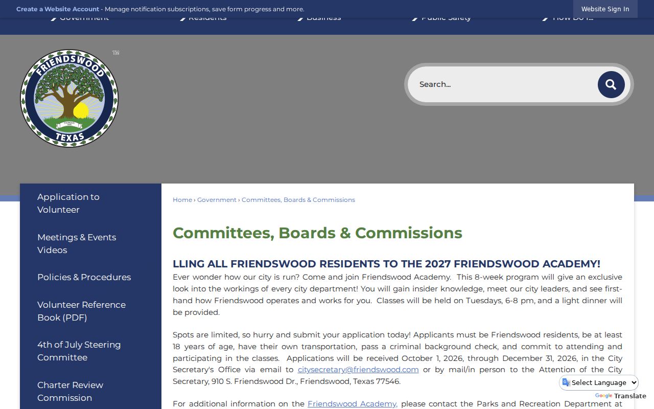
That civic information describes public service roles, not the people living around a Friendswood address.
The Friendswood code-enforcement information explains the municipal route for code questions.
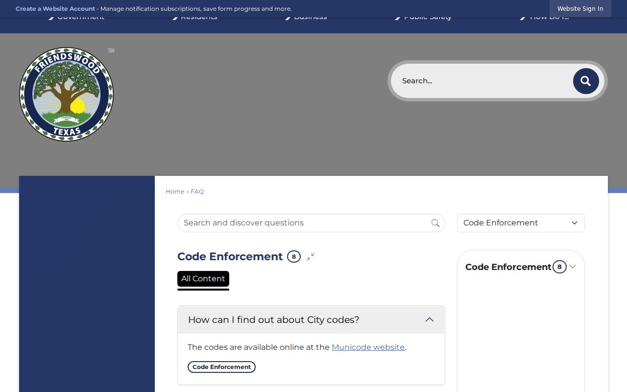
Code resources provide process context and do not create a public resident or neighbor roster.
Friendswood Neighbor Voter Limits
Texas offers an official individual voter-status route through the Secretary of State voter lookup, but it is not a public ZIP or block browser. The current instructions use a Texas driver license or state ID start path. A lawful voter-registration list request follows Election Code Chapter 18, uses a request form and affidavit, and has protected-address and use restrictions. The captured form states a $75 deposit, a fixed-width ZIP-text delivery format, and a furnishing period no later than the fifteenth day.
Public voter information is subject to protections. SSNs, driver-license or state-ID data, and phone numbers are confidential. Protected voter addresses are suppressed under the Election Code procedures. Do not attempt to rebuild a protected address from another source. Voter registration can support a lawful, limited record question. It cannot show ballot choices, every household member, or all Friendswood neighbors on a block.
Friendswood Neighbor Privacy Limits
Some information should remain private even when a parcel is public. There is no public renter roster, universal household-member roster, utility-customer list, delivery list, or HOA member list in the captured Friendswood sources. A property owner may not live at the situs address. A homestead flag is an appraisal exemption field, not conclusive proof of current occupancy. USPS also warns that ZIP results do not confirm a person or company.
Texas Address Confidentiality Program participants and protected voters have special address-handling rules. If an official record suppresses an address, respect the suppression. If an entry is uncertain, return to the record custodian rather than combining partial information into a claim about a neighbor.
Note: A block record can document a parcel or official contact, but it cannot reliably identify every person who lives nearby.